
Friday
We decided to explore the northern end of Maui (actually, it is called “West Maui”) today. “Explore” is the optimal word here, because we found ourselves a bit more off the beaten path than we were comfortable with. More about that later . . .
From the resort in Kihei, we drove north towards the flat neck of land that separates the two major portions of Maui. Rather than crossing this neck of flatlands, towards Kahului and the airport, we drove around on the highway that hugs the coast.
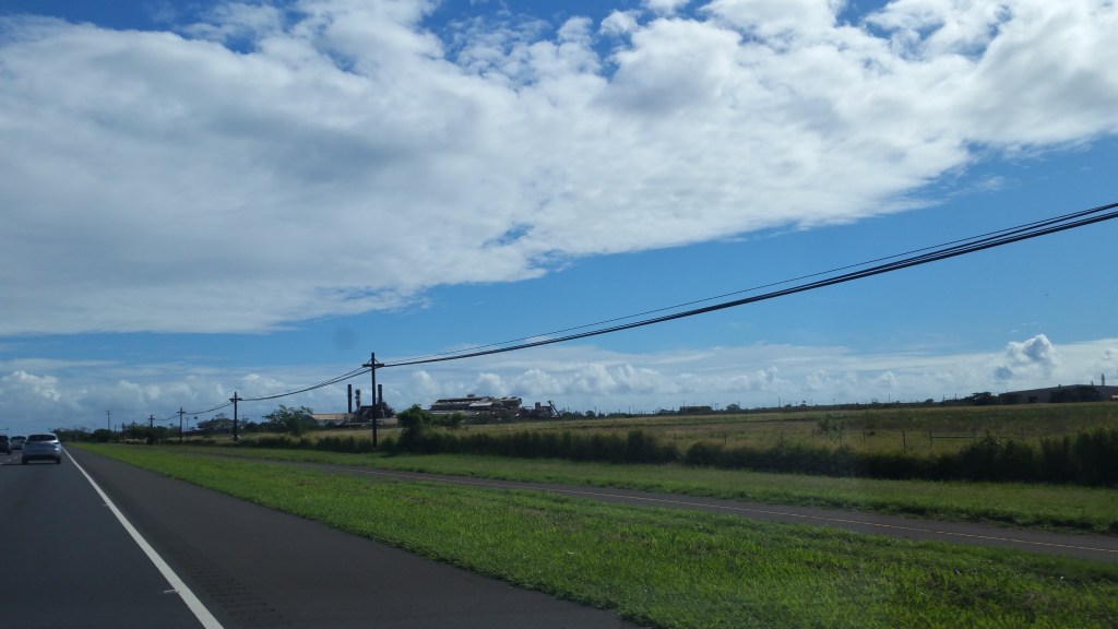
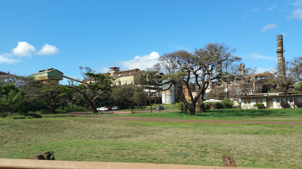
We passed what looked like an old sugar mill, rusting away.
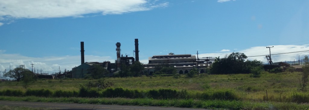
Unlike the old mill on the way to Kahului, this one looked like there was lots of current activity – almost like it was still in operation – but yet it was still quite rusted and decayed.
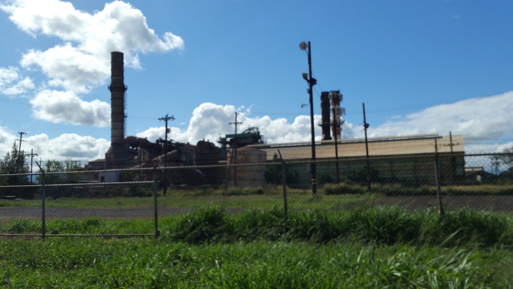
Later, I learned that this is the electric generating station for all of Maui.
Apparently, they have a bunch of diesel generators here that generate power for the grid. And in spite of the way it looks, it is very much still in operation.
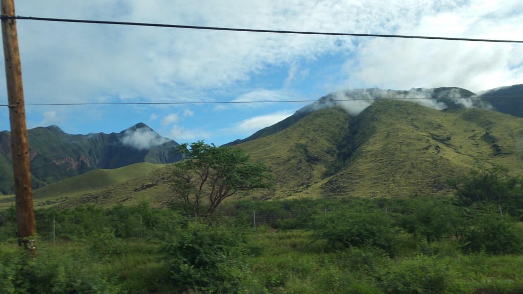
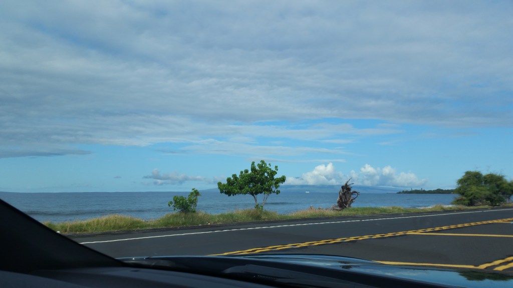
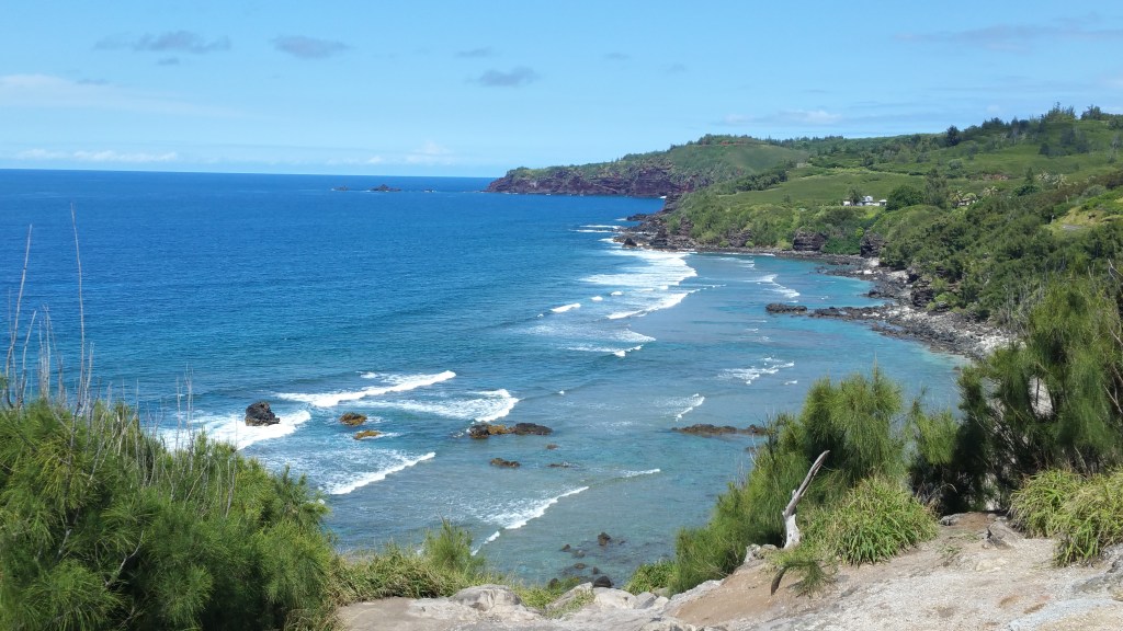
We drove past the port town called Ma’alaea on the coast to the left of the higway and the hills/mountains of west Maui rise up on the right, green and rugged!


Like huge soldiers, there are large windmills marching up the hill in a line.
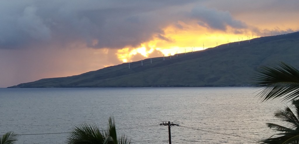
These windmills are more visible from further away, like back at the resort in Kihei.
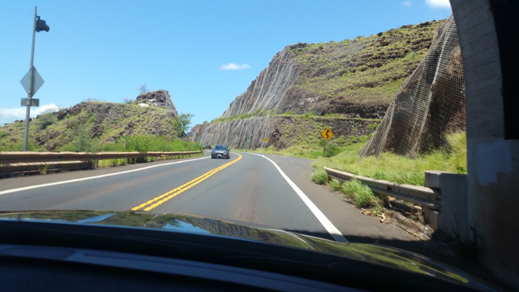
In this area, we saw quite a bit of chain mail on the hillsides to keep falling rocks off the highway


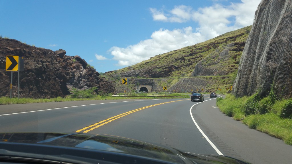
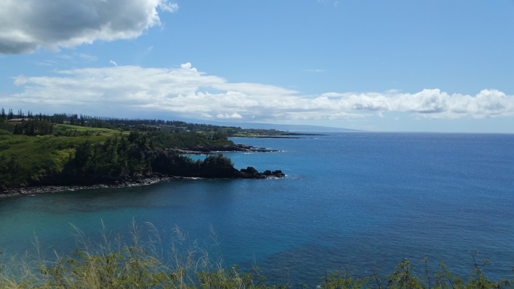
Past Ma’alaea, we came to a tunnel – the only highway tunnel, on Maui – that bores through the mountainside for a few hundred feet.

After emerging from the tunnel, we could clearly see the southern end of the island of Lanai,
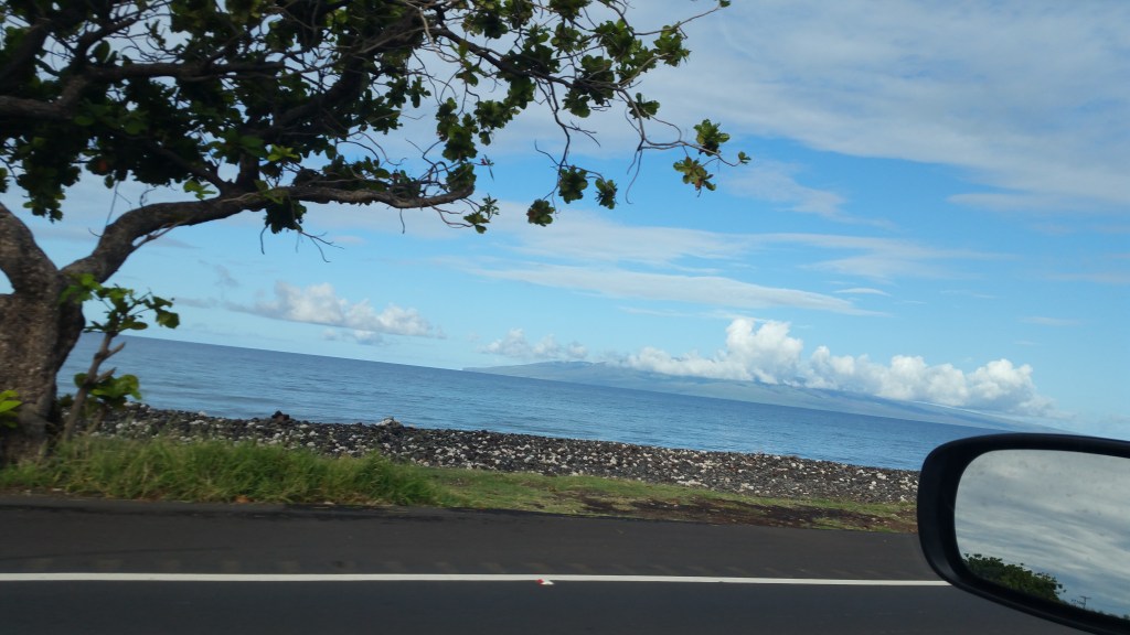
This was a much better than the view from the resort,

and before we arrived at Lahaina, we could see the entire island.
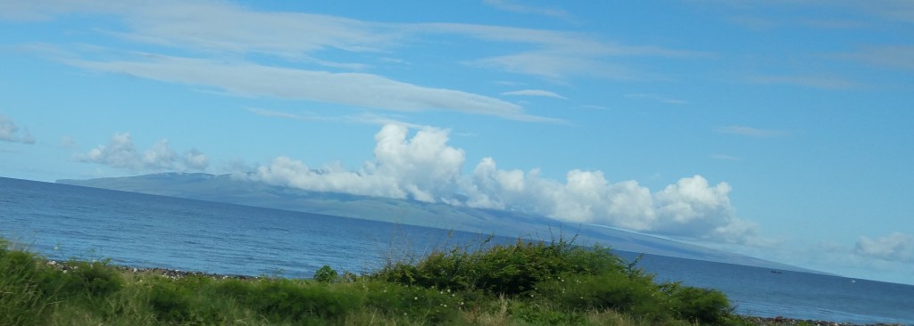
When I look at a map, I get the idea that the islands of Kahoolawe and Lanai are quite small, but my first impression is how large they are and with tall mountains rising in the middle of each. In fact, when I first saw Kahoolawe from the balcony of the resort in Kihei, I thought it was the Big Island. I guess it is all a matter of perspective – as these are much smaller than Maui, or the Big Island!

From the warf area of Lahaina, the island of Lanai fills and dominates your view to the west, and to the north, you see the island of Molokai protruding around the far northwest corner of Maui.

In Lahaina, we played tourist and walked around the town visiting the usual spots,
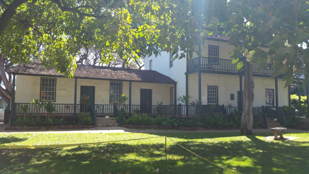
the Baldwin House,
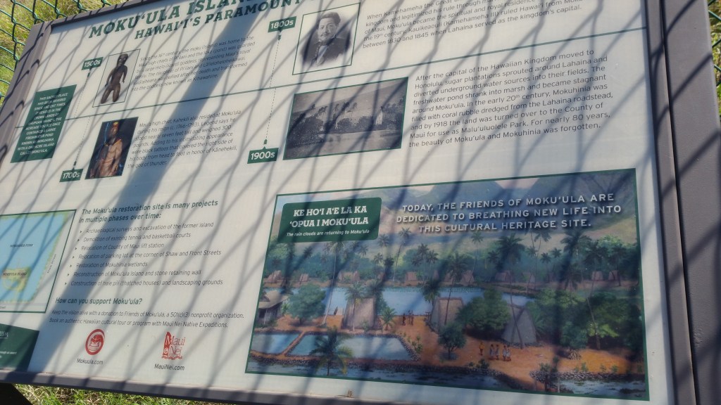

Moku’ula (that once was a lake with an island that was the residence of Hawaiian Royalty, but now is just a fenced in area of tangled weeds),


the warf with the lighthouse that is supposedly the oldest lighthouse in the South Pacific, the old court house,

the Customs House,


and the park that has a single banyan tree that covers over an acre.


We learned about the history of Lahaina,


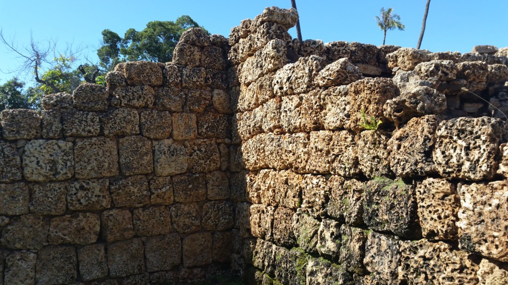
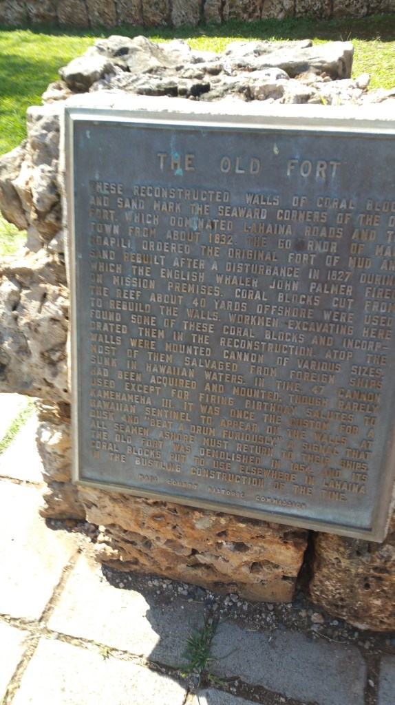
the rebuilt corner of the ruins of King Kamehameha’s fort built out of coral blocks quarried out of the coral reef
(but don’t wear any sunscreen not bought from an approved Hawaiian vendor as that sunscreen will damage the reef), and of course,
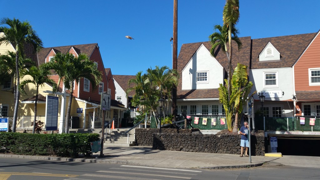
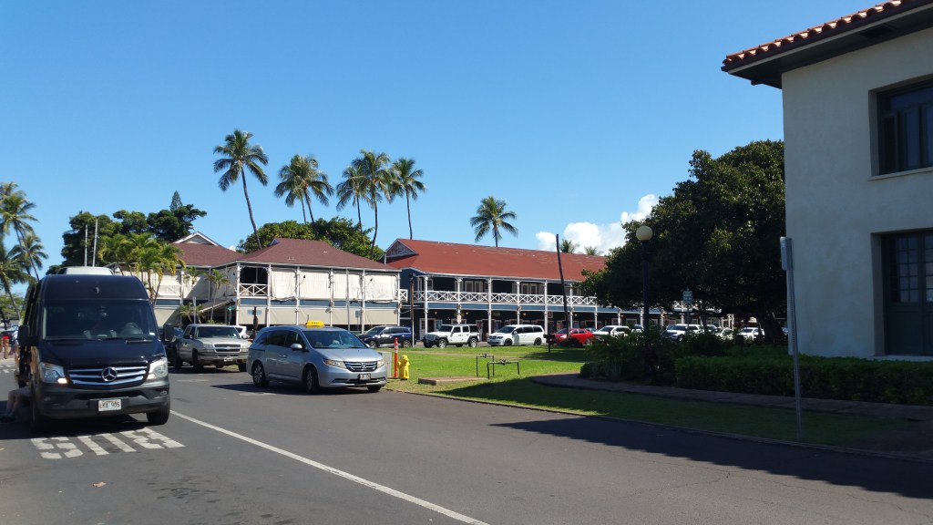
we did the typical tourist thing – walking through the shops on Front Street looking at knick-knack souvenirs made in China or Japan, or Mexico (and priced at twice as much as you can get the same thing on line)!
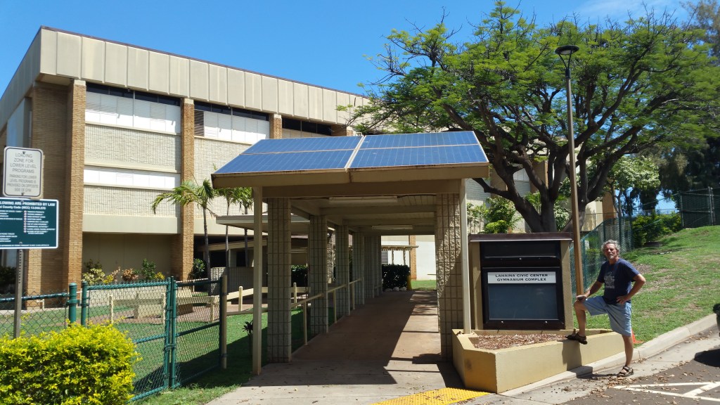
One of the reasons I wanted to go to Lahaina was to go to the Lahaina Civic Center. Each year around Thanksgiving, a college basketball tournament is held there – the Maui Invitational. Almost every year, the University of Arizona plays in this tournament, and most years, they dominate and win the tournament.
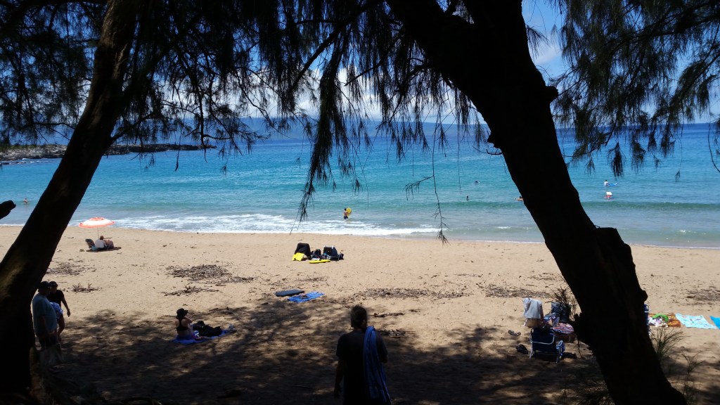
After tiring of playing “tourist”, we left Lahaina and drove north to Hanaka’o’o Beach. No particular reason for this beach, we had passed many others, we just picked this one at random and it was easy to get into from the highway.

At the southern end of the beach where the parking lot is located, there is a wide grassy area overlooking a rocky beach area good for snorkeling. There are restrooms here, with an outdoor shower pole, and picnic tables. The lifeguard station is also here.
As we walked down the sidewalk towards the beach that is a 20 to 30 foot wide sandy beach, we passed a group of 6 or 8 people sitting in a line of beach chairs back under the trees in the shade.
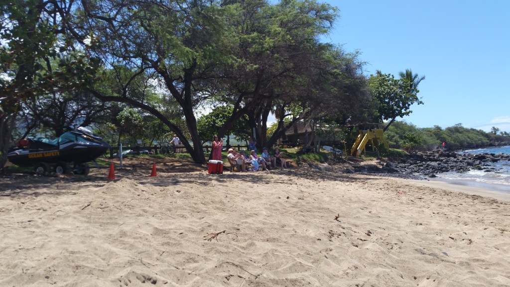
They were wearing Hawaiian shirts or mumus, and each had a flower lei around their neck and were intent on watching a person on a surfboard/paddle board paddling out from shore.
After getting about 30 yards off shore, the surfer sat up on the board and emptied the contents of a jar into the ocean.
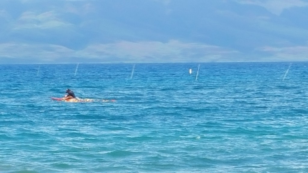
Then he or she threw a few handfulls of flower petals into the ocean and the people on the beach all clapped. They were there to witness the scattering of someone’s ashes – probably a friend or a relative.
There was not much wave action as the water was relatively calm. Possibly because this is a long gentle slope out from the beach. We tested the water – cool to start with, but after a while it was almost comfortable.

Then I built a few “sand castles” on the beach –
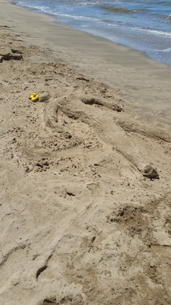
a girl sunbathing,

a turtle,

a crocodile. Rather hastily made, and not my best work, but it was something!
After another swim, we went up to the shower and rinsed the salt and sand off with fresh water. Then we had a bit of lunch at the picnic tables, after which we headed north again.
Past Ka’anapali we picked another random beach – D.T. Fleming Beach Park. From here, we had a great view of the island of Molokai.

There was a bit of wave action and I was able to catch a wave and body surf for about 20 to 30 yards.

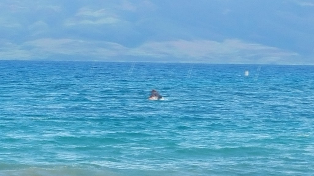
Others with a boogie board were able to stretch this out to 40 or 50. As we were hanging out in the water, we saw a large dark shape approaching under the water. It was a very large turtle; possibly 5 foot across it’s shell. He stuck his head up for a second and then went back down and continued on past us and up the beach. A little while later, we saw two more smaller ones – each one about 3 foot across.
After spending about an hour at DT Fleming Beach, we continued north around the northwest end of the island.
There seem to be fewer sandy beaches on this end of the island, it is mainly rocky shoreline, but it is quite beautiful.
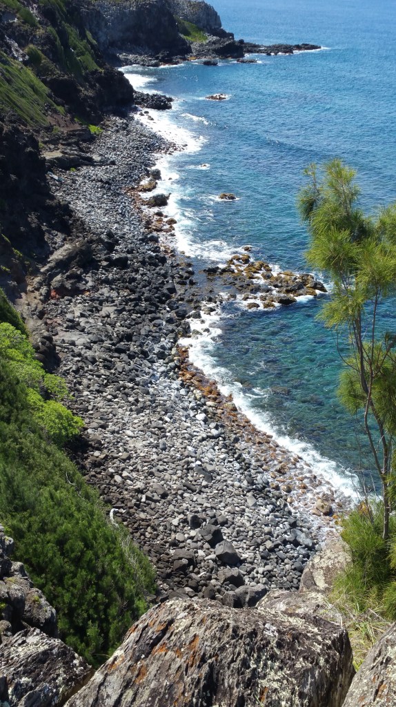
And sparsely populated. We went from a wide well paved highway, to a two lane (one in each direction) country road, to a potholed, narrow dirt and gravel track. At many places the road became a one lane dirt road barely wide enough to get past. We hoped that someone wasn’t coming from the other direction, and if they did, we hoped to be able to find a place to pull over to allow them to squeeze past. It was a wild and rugged drive, but the scenery was absolutely fabulous. From the road conditions, it was obvious why the car rental companies didn’t want you to drive their cars here.
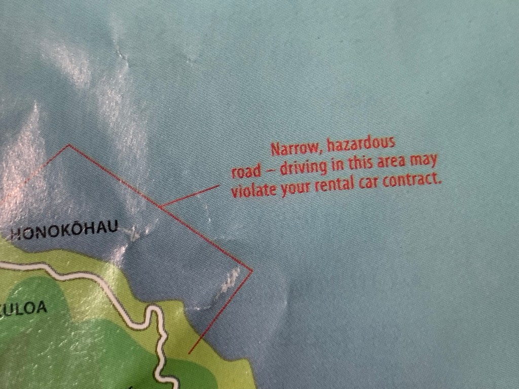
And if you did, you would do so at your own risk. Many times, we contemplated turning back, but could not find a place we were comfortable with making a u-turn, then the road would improve, then get worse, then improve, then get worse. We kept thinking that we were closer to the end than the beginning, so we continued.
The entire distance around West Maui is less than 100 miles, but it took us more than 8 hours of driving plus the time we spent at Lahaina, and at the two beaches we stopped at, it was a long day!
TTFN
