Not the easiest beach access, but definitely worth the effort.
About an hour south of Kona there is a turn off to the fishing village of Miloli. The sign says that Miloli is 5 miles away. More like two miles – if in a straight line.
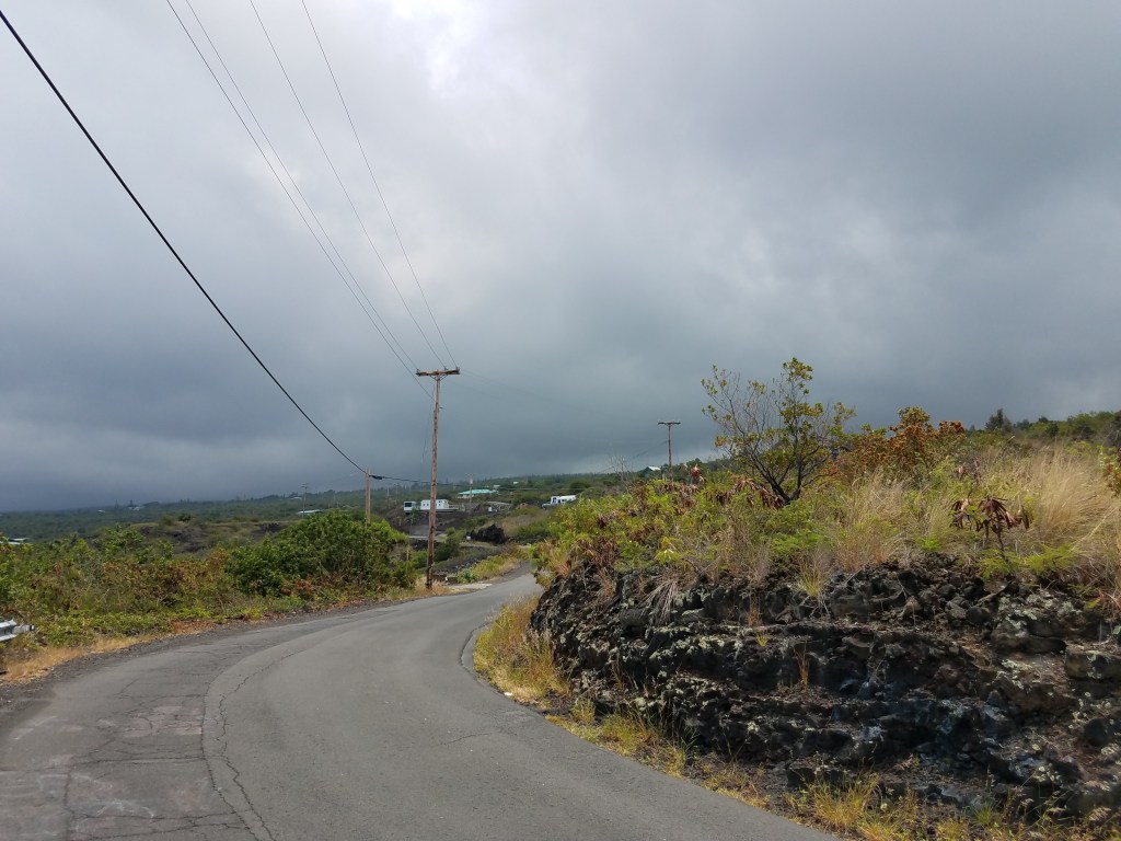
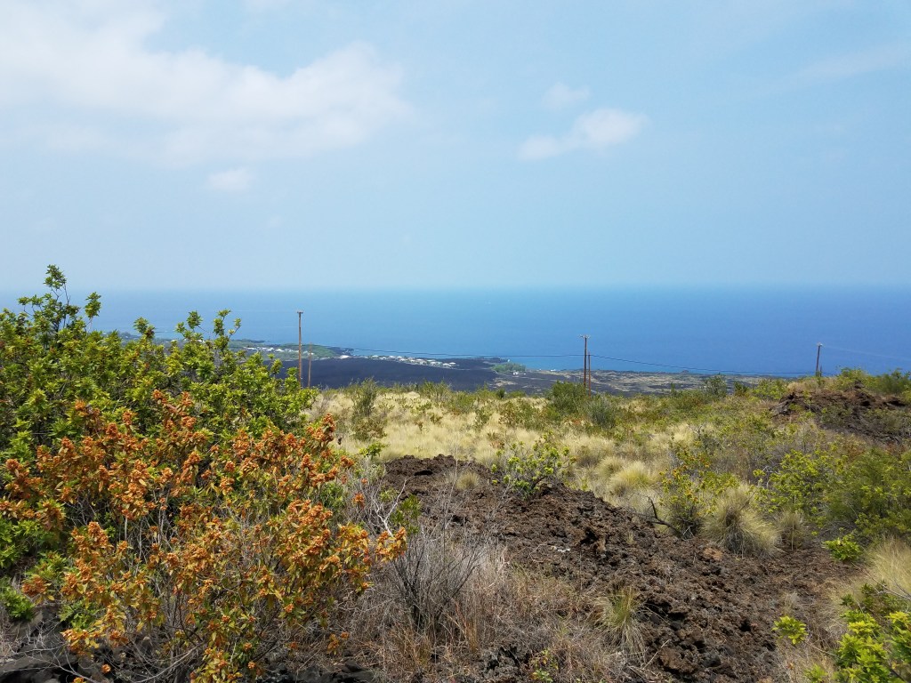
At this point, the road is about 1,000 feet above sea level and as you have been driving, you have been treated once in a while with a glimpse or two of the vast ocean and rugged coastline below. The road is a two lane highway that winds its way along the side of the mountain, with bends and curves as it travels in and through towns and villages after leaving Kona.

Paying attention to the driving is much more important than gazing out at the ocean and view below. Places to stop along this stretch of highway to get a good view are few and far between, and the trees and vegetation grow tall along side the road to block any view available. On one trip I came across a white vehicle that looked to be a full sized truck that had gone off the side of the road into the junngle/trees/brush. It was about ten feet off the pavement and fifteen feet below with yellow caution tape strung around it and the hole in the vegetation it had created as it crashed. Laying on its side, I did not see any way for any part of it to ever be pulled out of there. Subsequent trips saw it being swallowed up by the vegetation. That is unrelated to Honomolini Beach other than to say that when you do get a view from the highway in this area, it is really something, but pay attention to the road first.
Miloli is located on a flat (it is all rough lava so the term “flat” is misleading) plain about 800 feet directly below the highway. This old lava flow is perhaps a mile wide from the ocean’s edge to the mountainside, with the houses of Miloli perched on the cliffs at the edge of the water. There are two sections of Miloli – an old town area populated mainly by the original Hawaiians, and a newer, more modern area that has been created by and for the haoli’s (anyone from somewhere other than Hawaii – and predominately, the whites).

The older area is not as well taken care of as the newer section, it is smaller, and the two are separated by about a half a mile (or more) of rough lava. Many of the houses in the older section are quite large – and two storey. They appear to have been constructed in the 1950’s and someday, they may approach completion.
As you come off the highway, the road follows the hillside in a series of switchbacks that provide fantastic views of the two sections of town, the ocean, the lava flow, and the coast in both direction.

Along the hillside, there are places where others have carved out a place to build a home/cabin perched on the side of the hillside. Once down at the bottom of the hill, you can turn right to the newer section, or turn left to the older part of town. Approaching the old section, you will pass the transfer station where the county collects everyone’s garbage for hauling to the dump somewhere else on the island – so, yes, you drive through the city dump to get to old town Miloli. If you do not pay close attention, you will wonder where one ends and the other begins, but eventually, you end up at the parking lot for Miloli Beach Park. Here, there are basketball/tennis courts with a tall chain link fence around them, a large open roof structure with picnic tables, and a block building with mens and women’s restrooms.
This is definitely a local beach park, but you will be fine as long as you understand that you are being tolerated. And it is not really a “beach”.
Just past the park is a small yellow church,

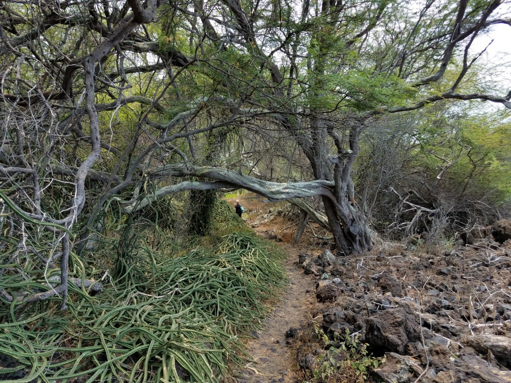
and past the church are three or four homes with fenced in yards that extend right out to the water’s edge. To get to Honomolino Beach, (there might even be a sign, but I’m not too sure) there is a path that leads you between the basketball/tennis courts and the church; then along a rock wall at the ocean’s edge, and depending on the tide, you may need to wade thru the water for a few hundred feet to get past the homes. Leaving the shoreline, the path leads through the trees, over small hills, and down into small gulleys, over fallen trees that appear to be blocking the path, but are part of the adventure. On both sides are rock walls of ceremonial and culturally significant sites. Feel free to peer into these sites, but do not bother anything there. Signs tell you that it is KAPU! – forbidden! As well as no tresspassing signs.
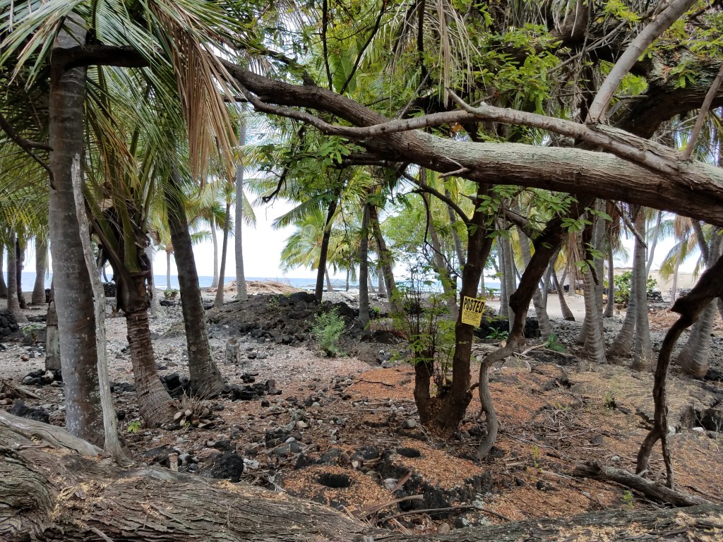
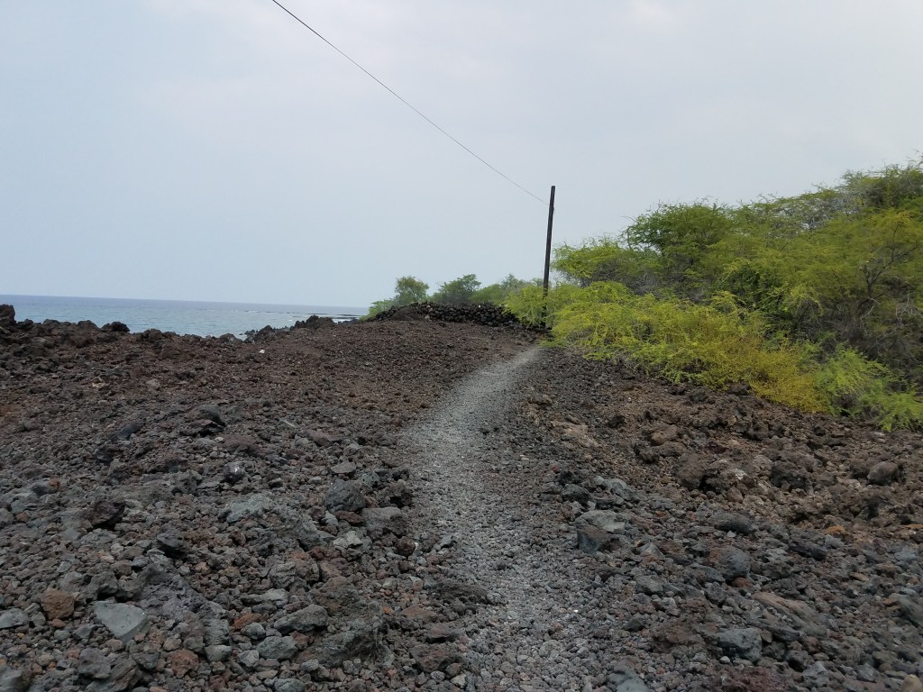
About ten or fifteen minutes climbing over the rocks, fallen trees, and down and back up again thru the gullies, and the trees disappear. They just stop. Abruptly. A lava flow a few hundred feet wide stretches in front, but the path is well established and easy to follow. Did I mention, that you should be well prepared before starting out on this hike? Wear sturdy shoes that can get wet, and will be easy to walk in. NO flip-flops! No sandals! Definitely, no high heels! Bring towels, any snack you may want, and water. There is none of this available at Honomolino Beach.
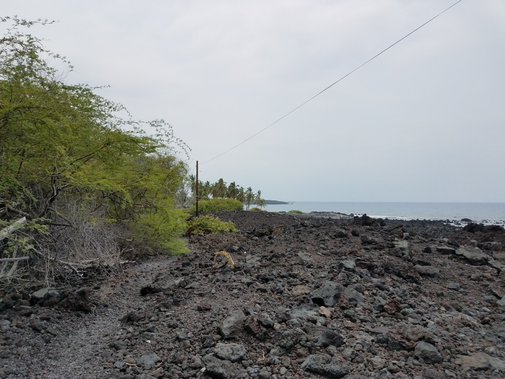
The path across the lava leads out towards the shore line and along a cliff side above the water.

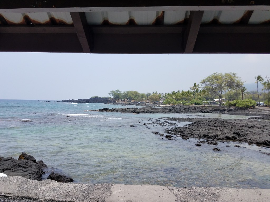
The shore is rough, boulders, and large lava formations with coves and waves.
The trees begin again after the lava flow and after a short walk thru the trees the bay opens up in front of you. There is a house set back from the trail on your left and up the slope behind a five or six foot chain link fence that has seen better years. There is a small building to your right with covered porches on two sides.
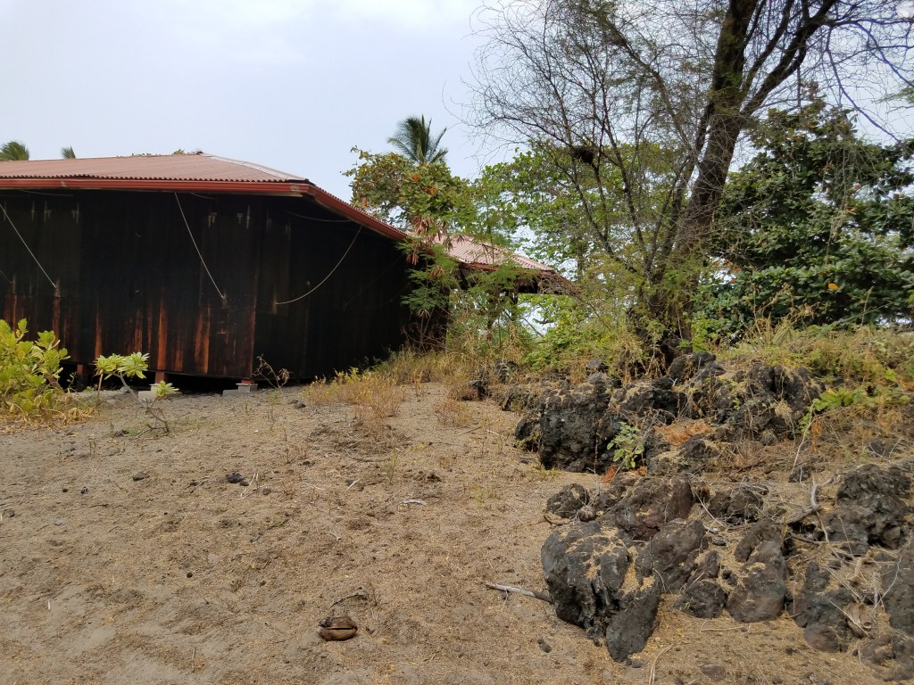
It looks like it was a concession building at one time with plywood hinged over where windows would be. The covered porch is about twelve feet wide and twenty feet long, with benches built at the end.
Behind the concession building is a round platform about 12 feet in diameter with bamboo walls that extend all the way around. Peering thru the cracks between the bamboo, it appears that this is a large community shower. The “doorway” has a chain and padlock. As the path continues between the two, it appears to become more like a road, and further along there is a rather large three story house set back from the sandy bay. The road continues past the bay and along the rocky shoreline until it disappears around a bend. There must be another way to get here from the highway. A road that is not well marked, and most likely goes through private land.
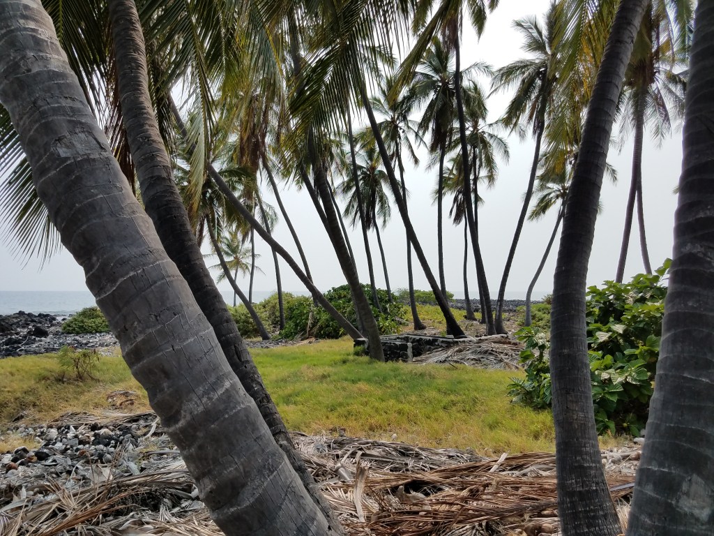
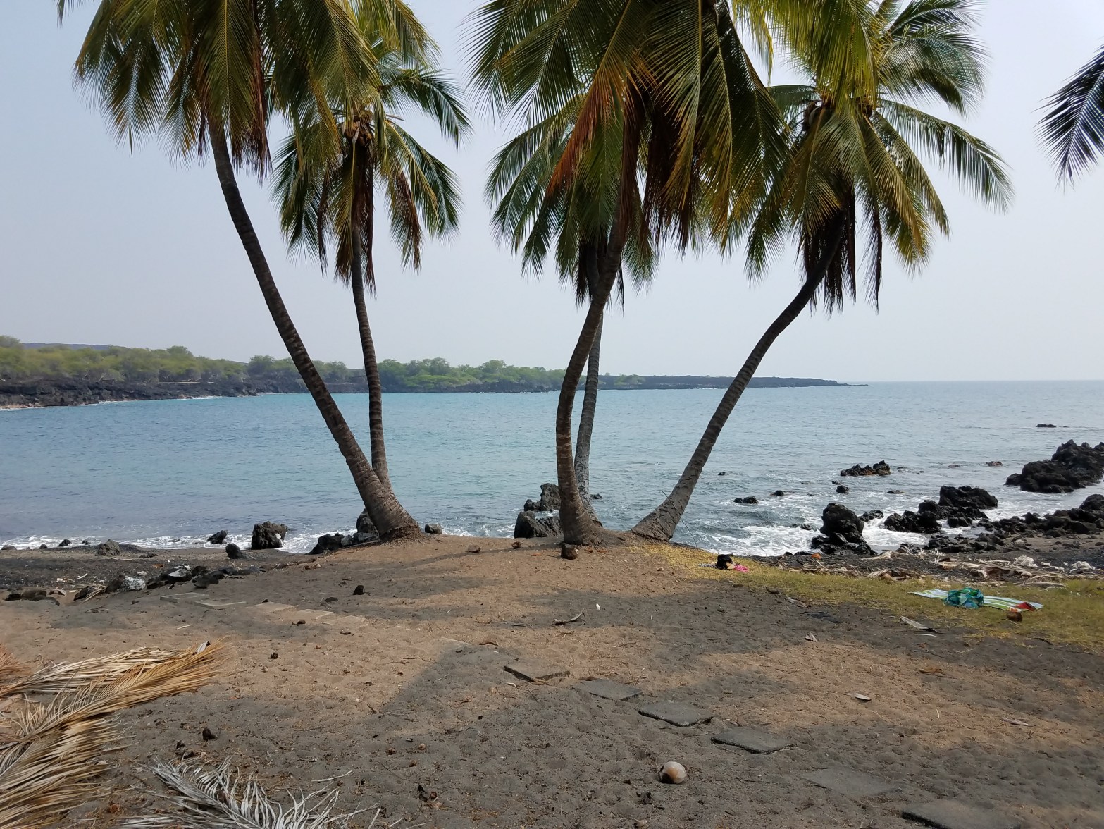
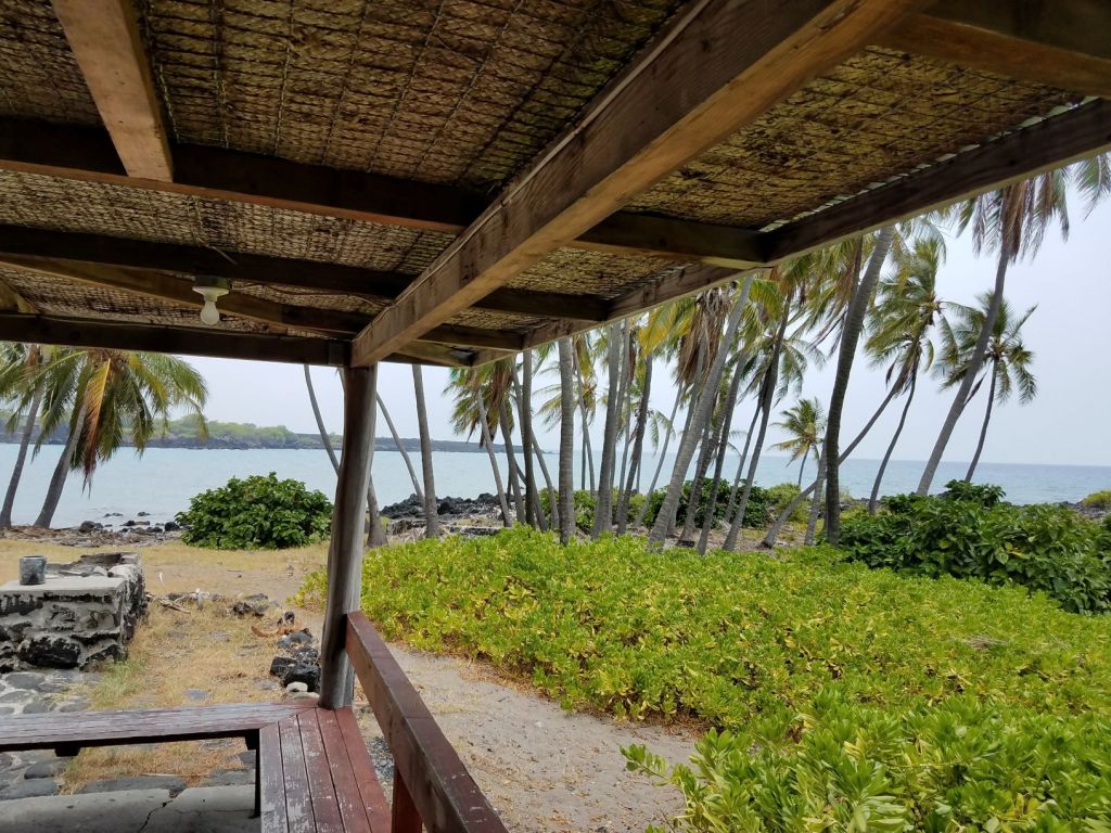
The bay is a large crescent shaped bay of black sand with a few hundred coconut palm trees – very tall coconut palm trees with coconuts high up in the fronds. The path through the last section of trees is mostly covered in tan sand that extends past the concession building and halfway to the water, the tan sand is replaced with the black. It is not an abrupt change, more of a gradual change through different shades of brown, gray and then black. Not the true black sand like that found at Punalu’u, this sand is a dark gray that looks black when wet.
The best part of this bay and beach is that there is no one else here. There are no vehicles at either house, and the concession building and both houses are boarded up tight.

The water is inviting and refreshing. Not cold, and yet not too warm. It has taken about 45 minutes to get here since parking the car at Miloli Beach Park.
I wonder if anyone would mind if I just stayed here – indefinitely.
TTFN
